Primjena

Pouzdani prikaz, sigurna budućnost
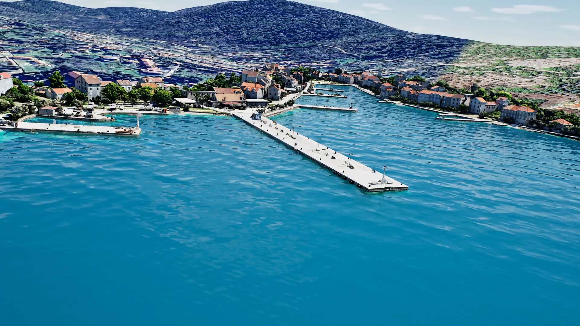
Digitalni blizanac

Digitalni blizanci omogućuju ne samo uvid u stanje infrastrukture, već i povezivanje svih relevantnih podataka u jedinstveno digitalno okruženje.

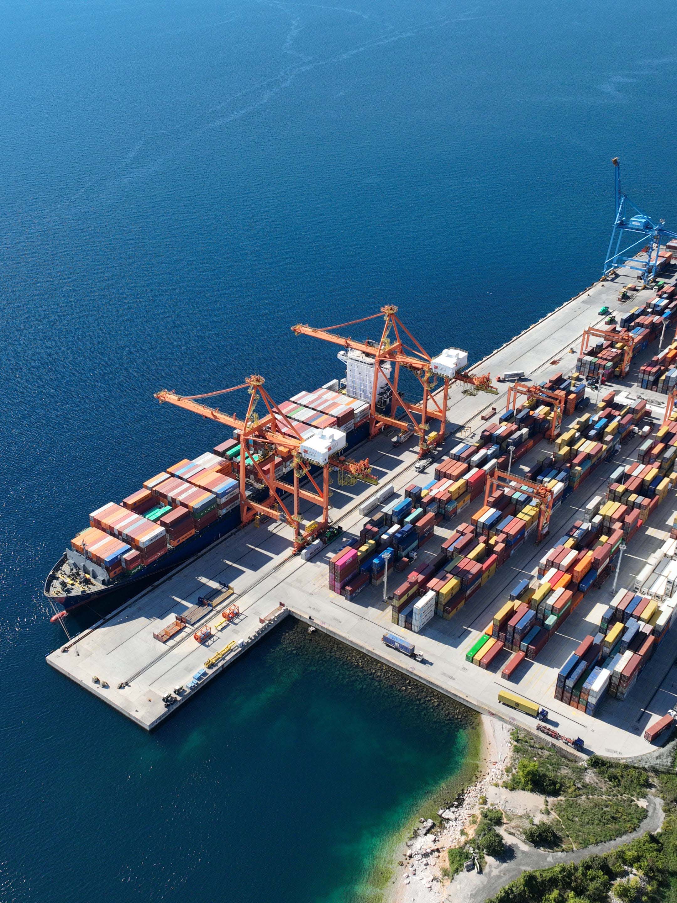
Upravitelji u portovima, lukama i kontejnerskim terminalima, te tvrtke za održavanje podvodne infrastrukture u svakom trenutku imaju kontrolu nad svojom podvodnom imovinom. Takav sustav omogućuje nadzor velikih površina, povezivanje različitih izvora podataka te simulaciju operacija u stvarnim uvjetima - uključujući kretanje plovila, vremenske uvjete i druge operativne parametre.
Primjena

Podvodno mapiranje pomoću fotogrametrije moguće je u uvjetima niske do srednje mutnoće vode.

U praksi to znači uvjete do približno 50 NTU (Nephelometric Turbidity Units).
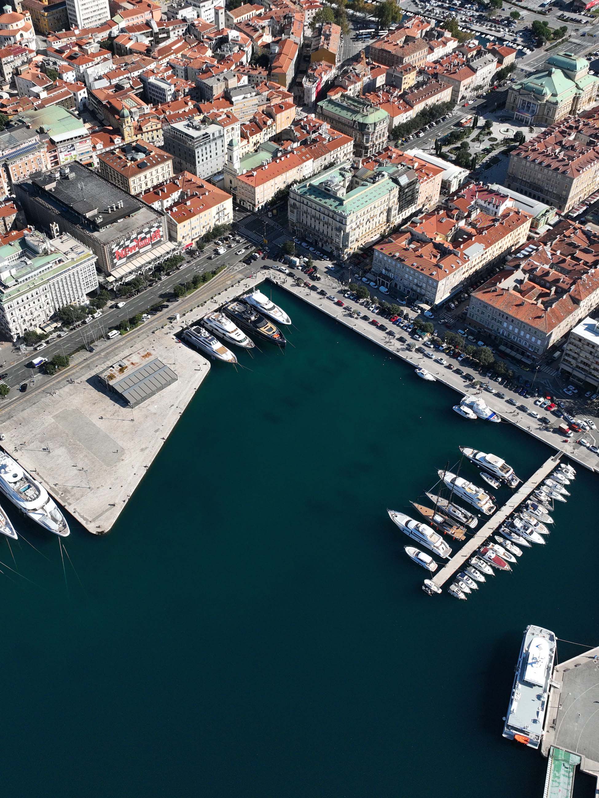
Takvi uvjeti obuhvaćaju približno 40 % svjetskih mora, posebno plitka obalna područja i luke.

U tim uvjetima moguće je stvoriti precizne i stabilne modele infrastrukture koji omogućuju pouzdanu analizu kroz vrijeme.
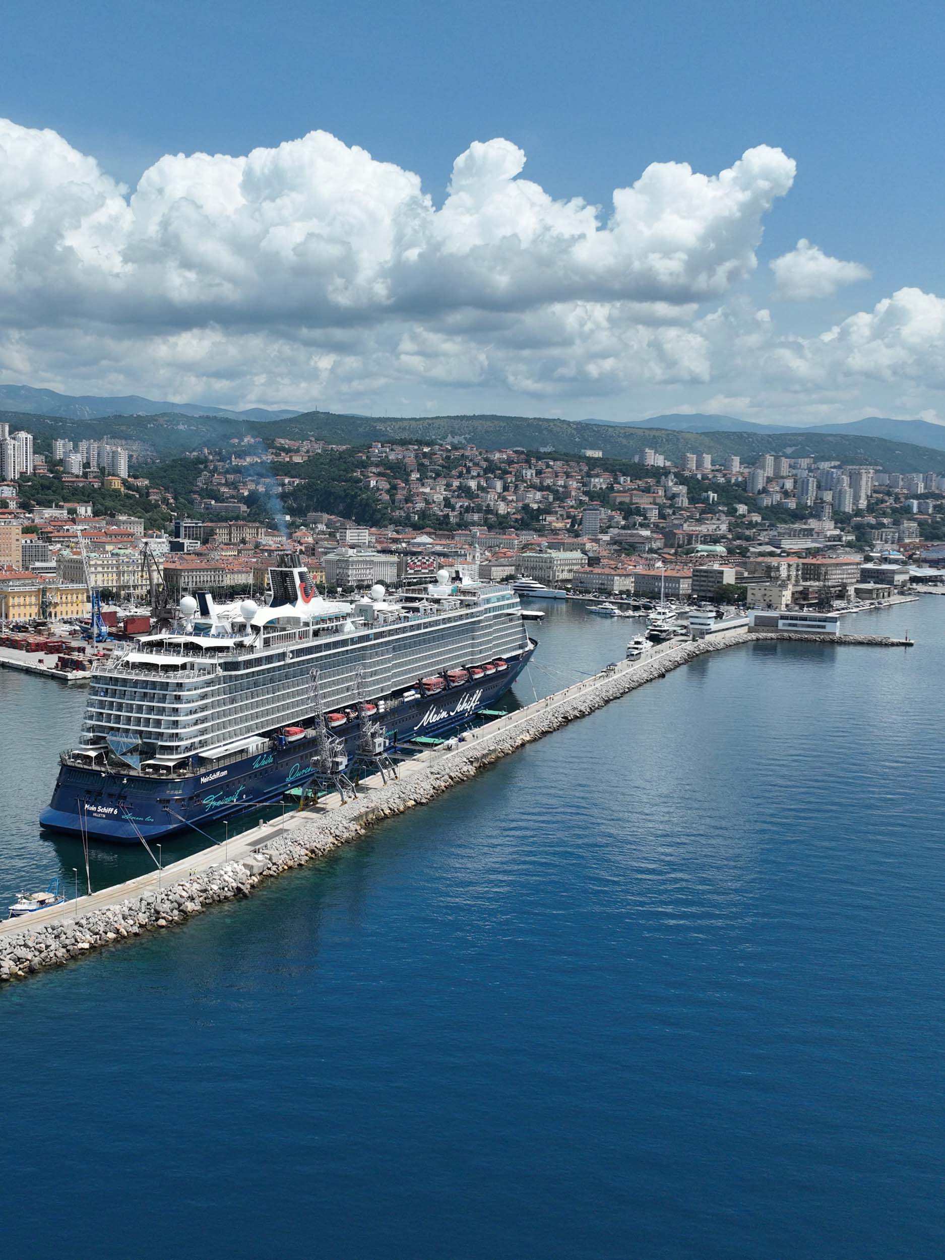
Luke
Lukobrani
Obalni zidovi
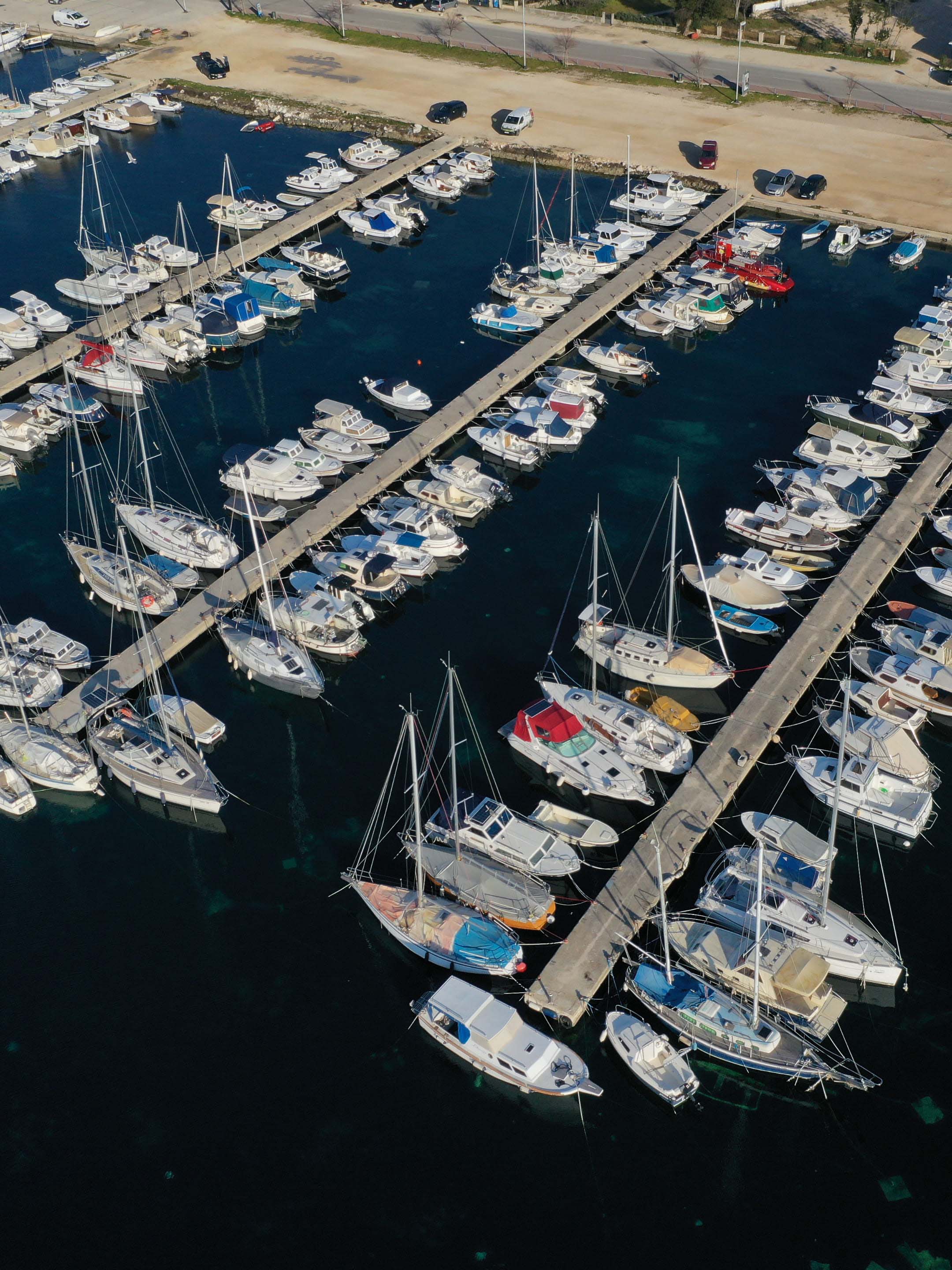
Marine
Primjena
Underwater mapping using photogrammetry is possible in conditions of low to medium water turbidity. In practice, this means conditions of up to approximately 50 NTU (Nephelometric Turbidity Units).

Such conditions cover around 40% of the world’s seas, particularly shallow coastal areas and ports.

Under these conditions, it is possible to create precise and stable infrastructure models that enable reliable analysis over time.
Underwater mapping using photogrammetry is possible in conditions of low to medium water turbidity. In practice, this means conditions of up to approximately 50 NTU (Nephelometric Turbidity Units).

Such conditions cover around 40% of the world’s seas, particularly shallow coastal areas and ports.

Under these conditions, it is possible to create precise and stable infrastructure models that enable reliable analysis over time.
Underwater mapping using photogrammetry is possible in conditions of low to medium water turbidity. In practice, this means conditions of up to approximately 50 NTU (Nephelometric Turbidity Units).

Such conditions cover around 40% of the world’s seas, particularly shallow coastal areas and ports.

Under these conditions, it is possible to create precise and stable infrastructure models that enable reliable analysis over time.
Underwater mapping using photogrammetry is possible in conditions of low to medium water turbidity. In practice, this means conditions of up to approximately 50 NTU (Nephelometric Turbidity Units).

Such conditions cover around 40% of the world’s seas, particularly shallow coastal areas and ports.

Under these conditions, it is possible to create precise and stable infrastructure models that enable reliable analysis over time.
Application
Underwater mapping using photogrammetry is possible in conditions of low to medium water turbidity. In practice, this means conditions of up to approximately 50 NTU (Nephelometric Turbidity Units).

Such conditions cover around 40% of the world’s seas, particularly shallow coastal areas and ports.

Under these conditions, it is possible to create precise and stable infrastructure models that enable reliable analysis over time.
Underwater mapping using photogrammetry is possible in conditions of low to medium water turbidity. In practice, this means conditions of up to approximately 50 NTU (Nephelometric Turbidity Units).

Such conditions cover around 40% of the world’s seas, particularly shallow coastal areas and ports.

Under these conditions, it is possible to create precise and stable infrastructure models that enable reliable analysis over time.
Underwater mapping using photogrammetry is possible in conditions of low to medium water turbidity. In practice, this means conditions of up to approximately 50 NTU (Nephelometric Turbidity Units).

Such conditions cover around 40% of the world’s seas, particularly shallow coastal areas and ports.

Under these conditions, it is possible to create precise and stable infrastructure models that enable reliable analysis over time.
Underwater mapping using photogrammetry is possible in conditions of low to medium water turbidity. In practice, this means conditions of up to approximately 50 NTU (Nephelometric Turbidity Units).

Such conditions cover around 40% of the world’s seas, particularly shallow coastal areas and ports.

Under these conditions, it is possible to create precise and stable infrastructure models that enable reliable analysis over time.
Ključne metrike
Nastavite s čitanjem

Licenciranje